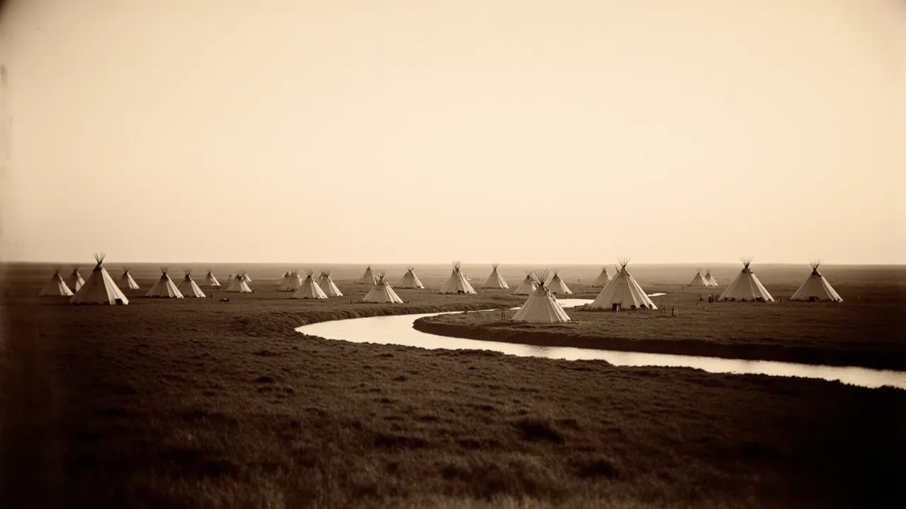
One of the central purposes of the 1851 Treaty of Fort Laramie was to map the northern and central Great Plains — defining a recognized territory for each nation in an effort to reduce conflict. These boundaries shaped decades of history that followed.
Mapping the Plains
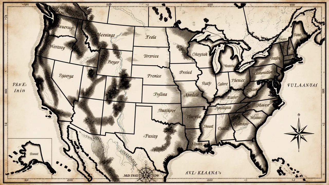
Article 5 of the treaty described the territory of each nation using the great rivers and landmarks of the Plains — the Missouri, the North Platte, the Arkansas, the Yellowstone, the Powder River, and the Black Hills. The goal was to give each people a defined homeland and to limit the intertribal raiding that U.S. officials believed threatened emigrant travel.
Territories Recognized
- Sioux (Lakota): vast lands of the northern Plains east of the Black Hills toward the Missouri.
- Cheyenne & Arapaho: the central Plains between the North Platte and Arkansas rivers.
- Crow: the Yellowstone and Powder River country to the northwest.
- Assiniboine, Mandan, Hidatsa & Arikara: lands along the upper Missouri.
Recognition, Not Cession
Importantly, the 1851 treaty did not require the nations to surrender their lands to the United States. It recognized existing territories rather than purchasing them. The nations also expressly did not abandon their right to hunt, fish, and travel across the wider region.
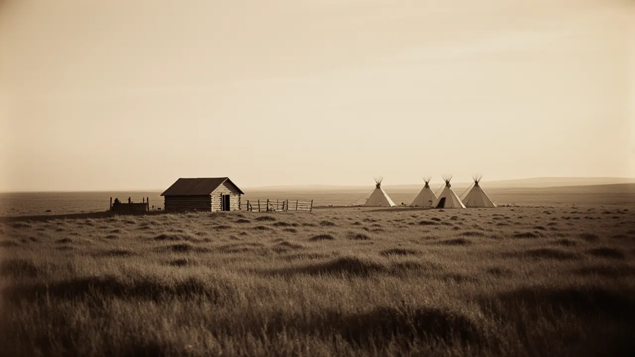
A Fragile Framework
The boundaries were drawn quickly by U.S. negotiators and did not always reflect how nations actually used the land, which was often shared and overlapping. Within a few years, growing emigration, broken annuity promises, and the discovery of gold would strain the framework — setting the stage for later conflicts and the 1868 Treaty of Fort Laramie.
Related reading: Signatory Nations of the 1851 Treaty.